Mt. Midgeley
This is one of the easier trails in the area for reaching a true mountain peak, making it a great option for hikers looking to gain some elevation without a technical or strenuous undertaking.
A well-marked trail to the cabin, then a ridge walk to the peak with some route-finding required. 3 km one way | km
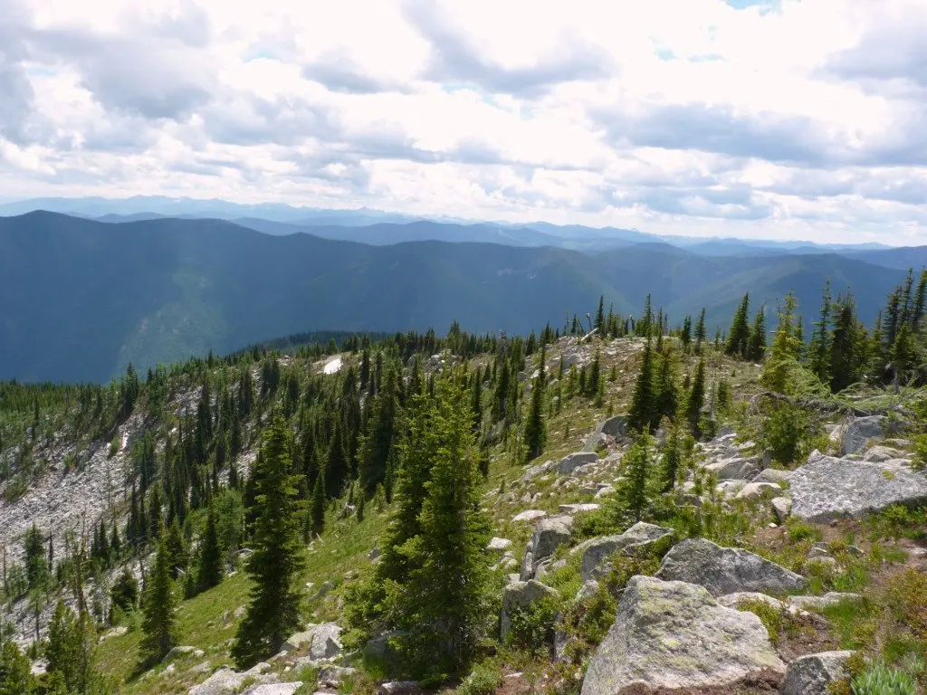
One of the most accessible mountain peak hikes in the Creston Valley, Mt. Midgeley rewards hikers with sweeping views of the valley and surrounding lakes — and gets you to the top without requiring a full day or technical skill. A trapper's cabin partway up adds a touch of history to the journey.
Follow the trail from the trailhead to the Trapper's Cabin at approximately km 1.5 — the route is well marked to this point. Cross a small stream just past the cabin, veer left, and pass the outhouse to pick up the trail again. A well-defined footpath leads to the ridge over approximately 900 m. Once on the ridge, follow it to the peak, where you'll be rewarded with beautiful views of the Creston Valley and surrounding lakes. Note that the trail on the ridge is not well defined but is marked with pink ribbon — keep an eye out and take your time.
Getting There
Mt. Midgeley Trail is approximately 27 km from Creston, including 16.5 km on a logging road. A high-clearance vehicle, preferably with 4-wheel drive, is highly recommended.
Travel west on Hwy 3 and turn right on the Topaz Forest Service Road immediately after crossing the Summit Creek Bridge. Set your odometer to zero. At km 3, the road makes a left turn — Newington Road continues straight, so stay left and continue climbing. At approximately km 13, you will reach three forks. Take the middle fork and continue straight — the right fork leads to the communication towers. From this point the road is no longer maintained and has water bars that require a high-clearance vehicle. Continue approximately 1.5 km and take the left ascending fork. The trailhead is approximately another 2 km along on the left, and should be marked with flagging tape and a sign.
Gallery
Click any photo to view it full size.