Water Access

    Public access points to Kootenay Lake and the rivers of the Creston Valley.

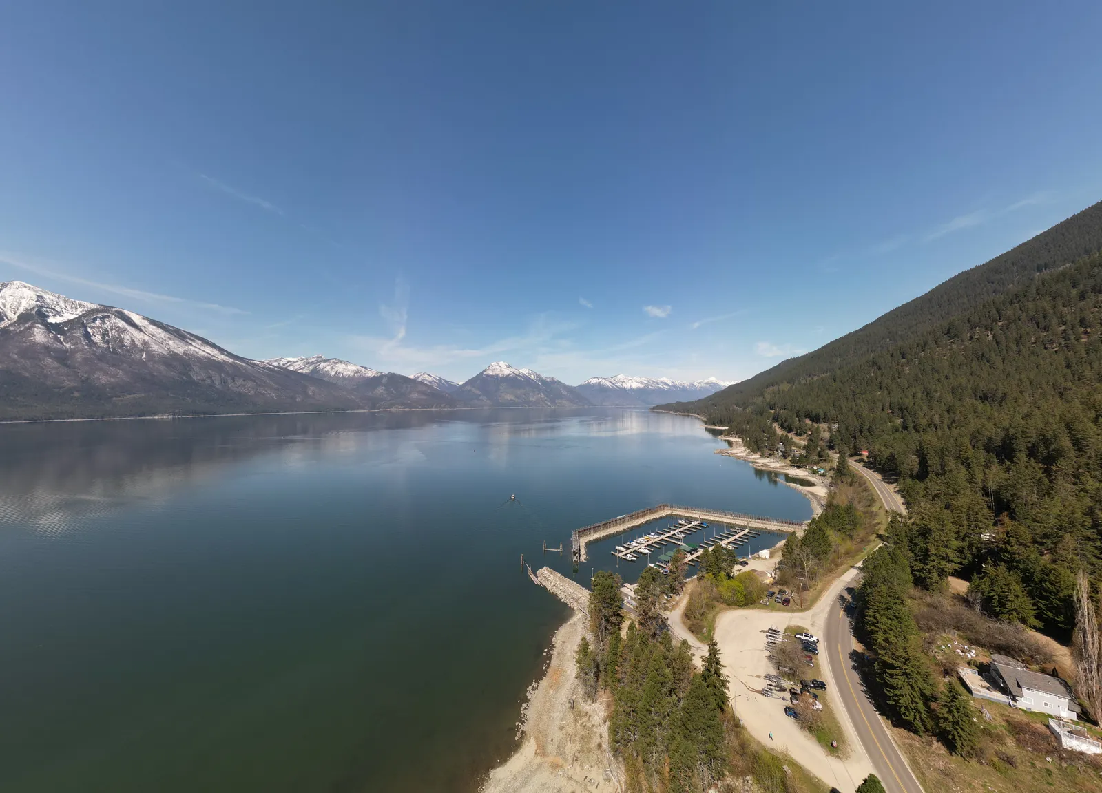
    Trails for Creston Valley Society maintains only Riverside Park water access. Kootenay Lake's east shore offers stunning views but limited public access. With few developed parks and hard-to-spot access points, reaching the shoreline can be challenging.

    Several of these sites have no signage, trails, restrooms or garbage bins. Please plan ahead, bring garbage bags, use crown land responsibly and pack out everything you bring in.

    Find your way

    Where the access points are

    6 of these sites publish exact coordinates. Click a pin for directions. Green pins are sites the society maintains.

    Loading map…

    Site by site

    Access points

    Goat River – Riverside Wilderness Park

    Goat River – Riverside Wilderness Park

    Maintained by TCVS

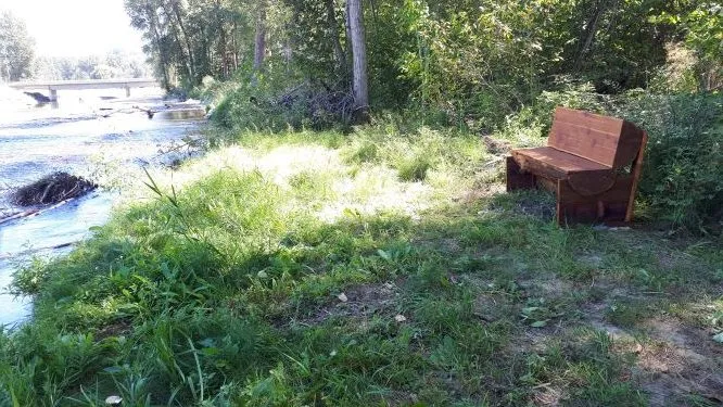
    TCVS purchased a riverfront parcel at 1031 Highway 21 and turned it into a public park, with a parking lot a safe distance from the highway, public toilets for summer use, picnic tables and garbage cans. Private properties surround the park, so please be respectful, drive slowly and stay within the park boundaries. Open for public use during daylight hours only — no overnight camping.
    Kootenay River – Old Ferry Landing Picnic Site

    Kootenay River – Old Ferry Landing Picnic Site

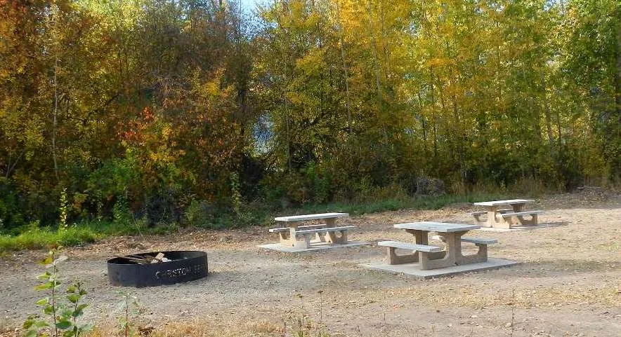
    Along likely the calmest section of the Kootenay River, the old ferry landing has long been a launching point for canoeing and kayaking. Picnic tables sit in the grassy area beside the parking area. There are no garbage cans, so please pack out your garbage.

    Martell Beach

    Martell Beach

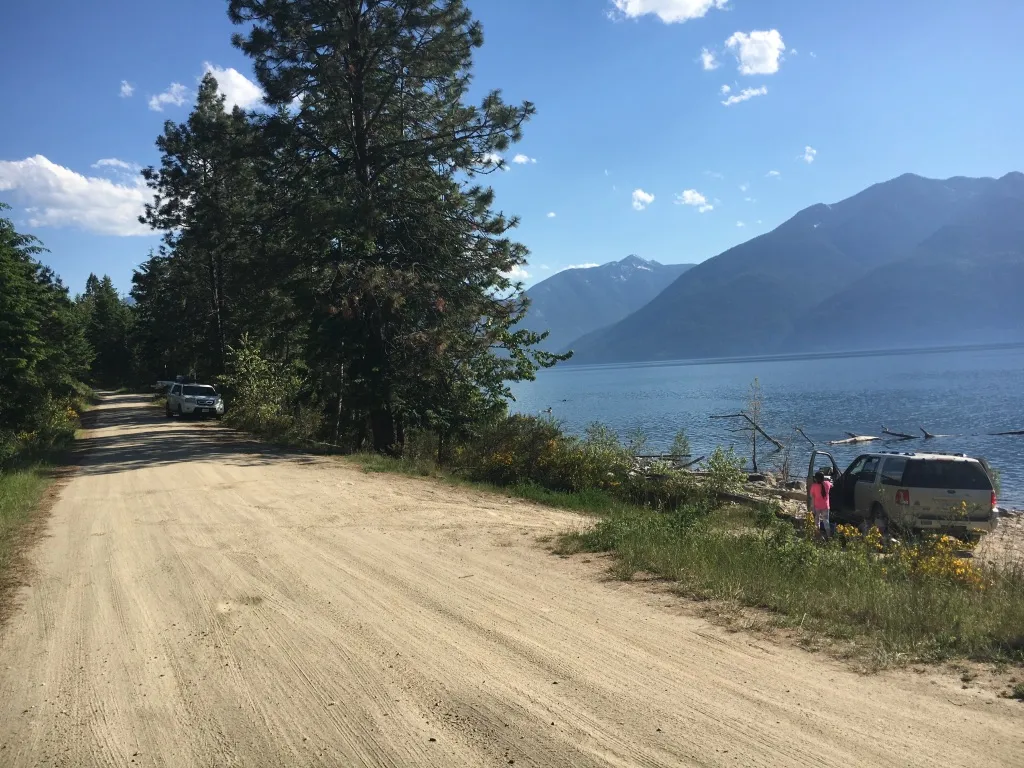
    A popular Kootenay Lake public-access site (also known as "Dog Beach"), on Lakeside Rd about 1.5 km south of the Glass House. Relatively level — one of the best for those with mobility challenges to enter the water — though rugged with rocks and tree debris, with a spot for launching kayaks (no wheelchair ramp). TCVS installed three concrete picnic tables for public use.

    Kuskanook

    Kuskanook

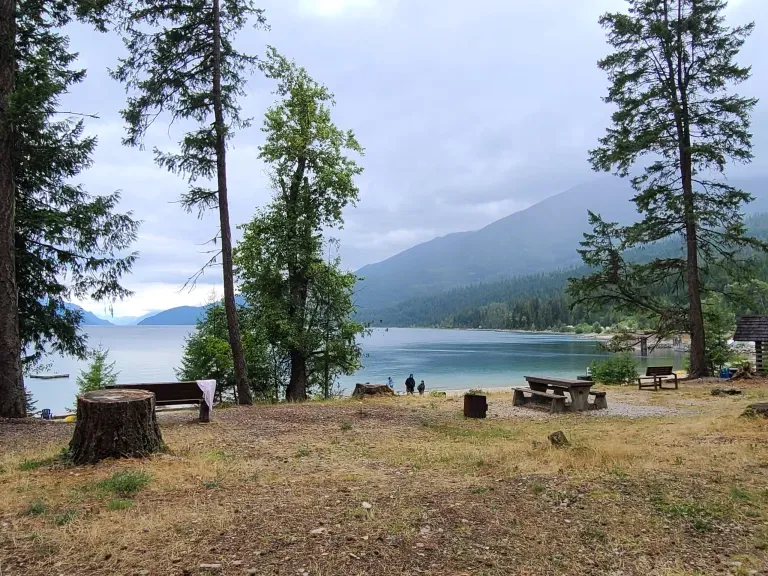
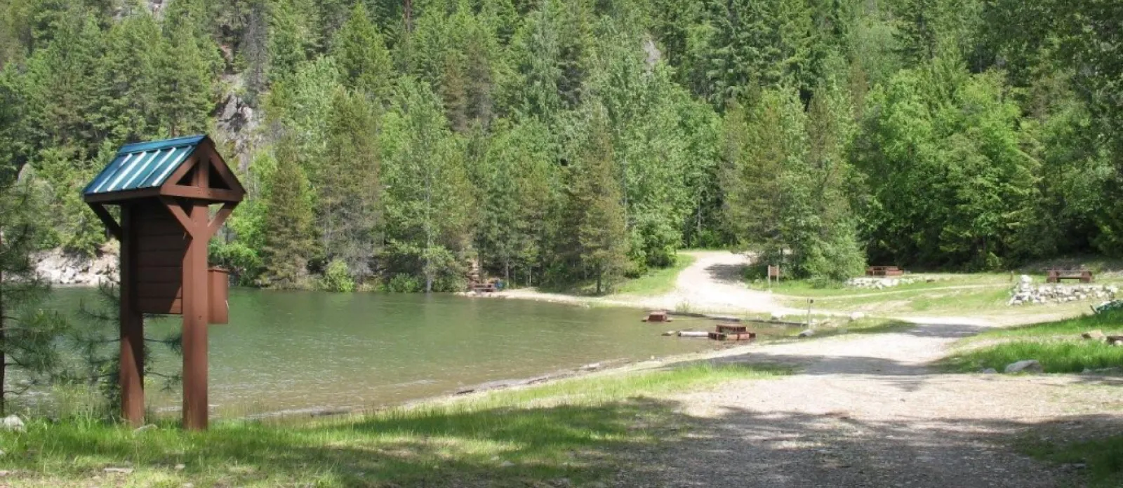
    Kuskanook Rest Area and Boat Launch offers the closest fully serviced access to Kootenay Lake from Creston, with a beautiful beach on the south side.

    49.29964, -116.66155 Get directions
    Twin Bays

    Twin Bays

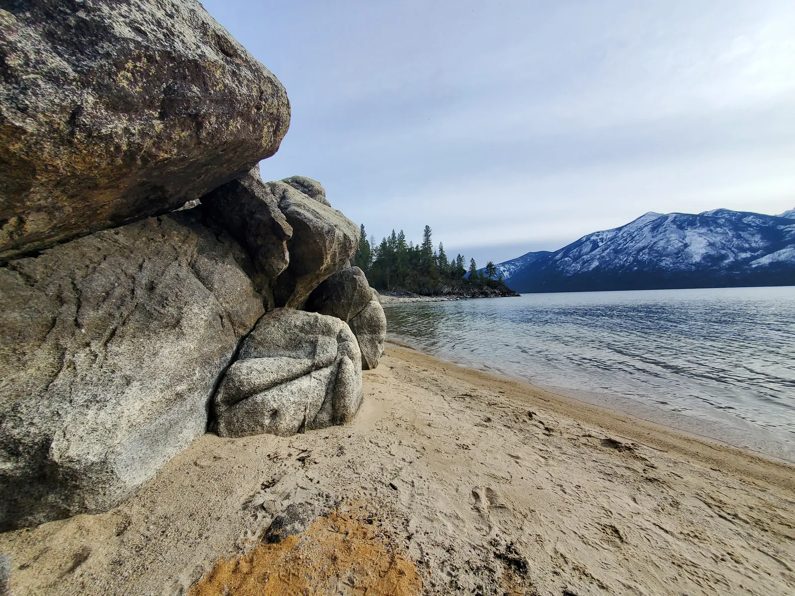
    The main site has a beautiful fine-sandy beach with easy drop-off access — the most popular beach on the East Shore. Parking is down the road, with a bathroom and garbage pickup at the lot.

    49.34043, -116.71948 Get directions
    Kootenay Bay Ferry Landing

    Kootenay Bay Ferry Landing

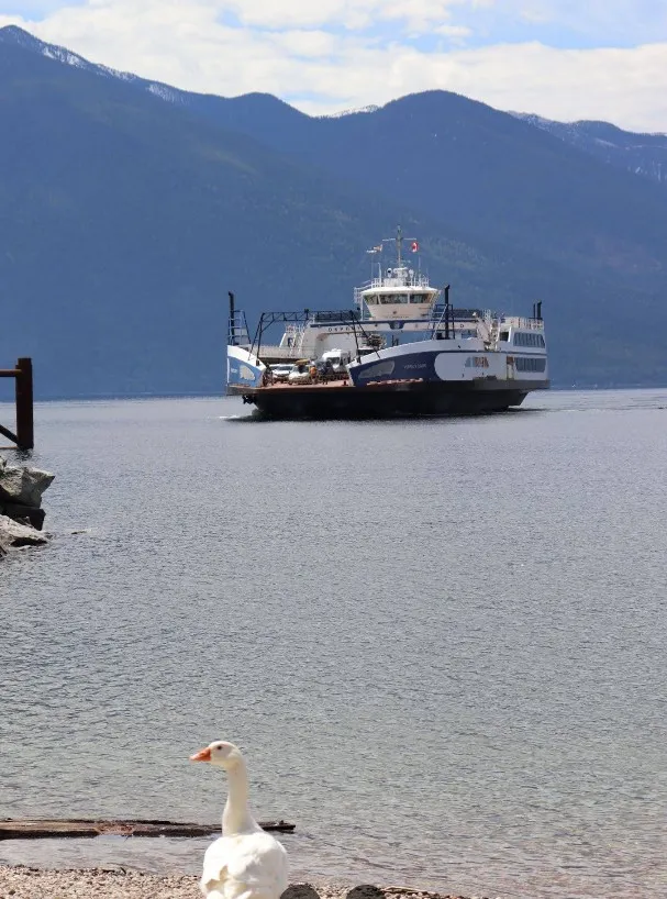
    A beautiful pebble beach next to the ferry landing that can accommodate many beachgoers but is lightly used. Washrooms, garbage cans and an eatery are nearby.

    49.67595, -116.87315 Get directions
    Riondel Park & Campground

    Riondel Park & Campground

    Privately owned by Teck Cominco, which grants public access. Camping facilities, bathrooms, garbage pickup, a covered picnic area, and a beautiful beach with fabulous views.

    49.76811, -116.85892 Get directions
    Loki Point

    Loki Point

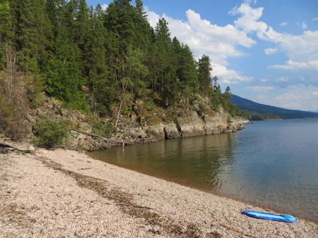
    This beach takes more work to reach but is well worth it. A few kilometres from Riondel the Pebble Beach Rec Site trailhead is easy to spot, but the hike down takes about 30 minutes (longer coming back). A stunning, secluded beach.

    49.80904, -116.85504 Get directions
    Garland Bay

    Garland Bay

    A Provincial Rec Site with camping, outhouses and plenty of lovely pebble beach — well worth the drive up the forest service road north from Riondel.

    49.86989, -116.86081 Get directions