Our Trails
Explore the Creston Valley trail network — from gentle riverside walks to mountain ridgelines, discover the routes that make our valley worth wandering.
Trails Maintained by TCVS
Trails our volunteers build, maintain, and steward across the Creston Valley.
 Moderate
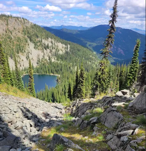
Monk Lake Trail
A compact and rewarding alpine hike, Monk Lake delivers big scenery in a relatively short distance. Rocky scramble sections add a bit of adventure, and hikers who push beyond the lake are treated to extraordinary views stretching all the way to Boundary Lake.
 Moderate
Balancing Rock
This trail is very popular near Creston. The trail provides beautiful views of Creston Valley and bird activity. The large rock that gives the trail its name sits awkwardly on the path.
 Moderate
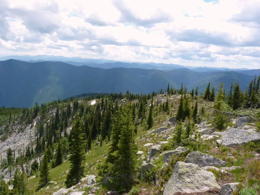
Mt. Midgeley
This is one of the easier trails in the area for reaching a true mountain peak, making it a great option for hikers looking to gain some elevation without a technical or strenuous undertaking.
 Hard
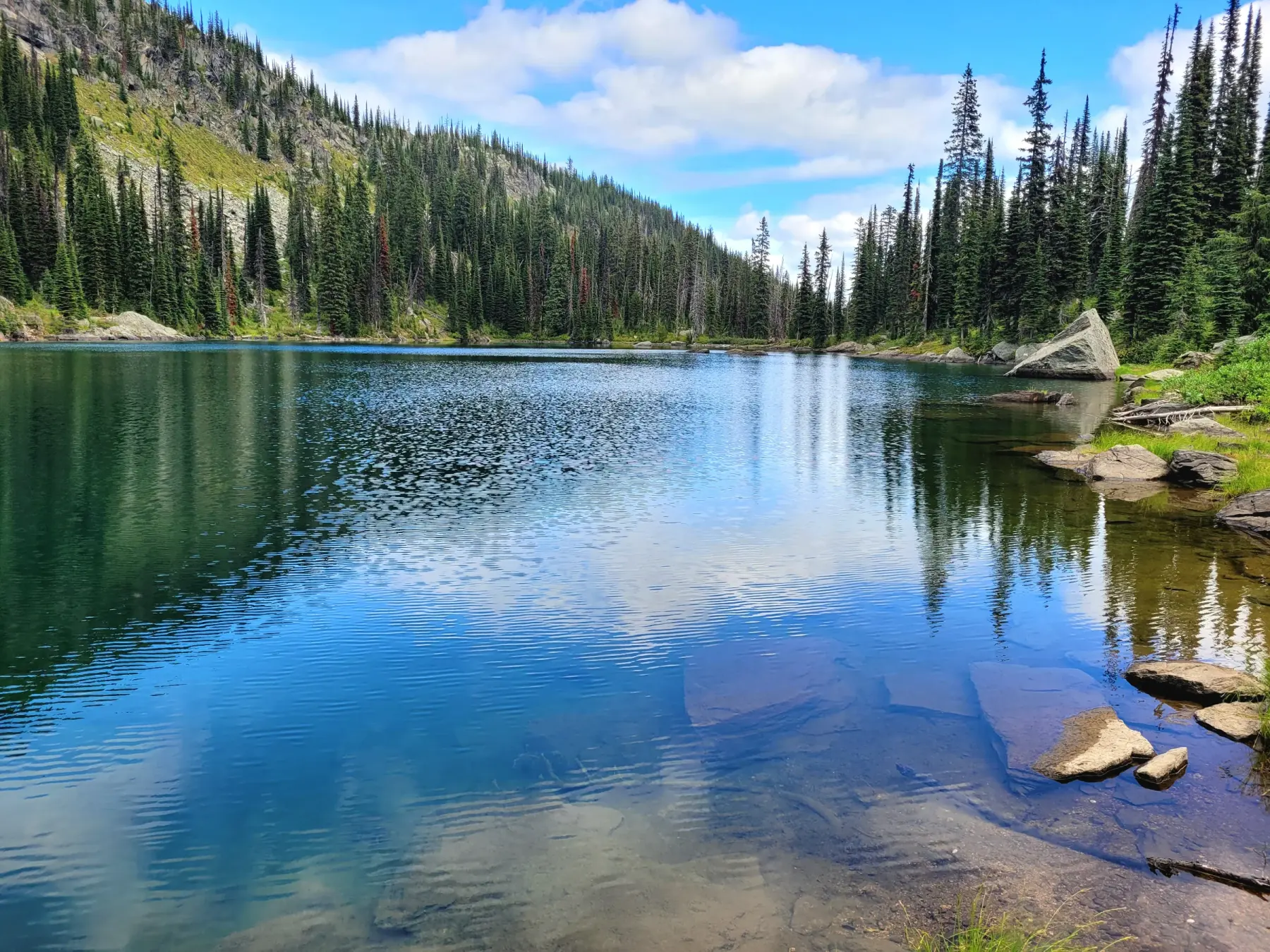
HardNun Lake
For those who make it, the reward is a remote alpine lake in a landscape that feels genuinely untouched — the kind of place that takes some earning.
 Moderate
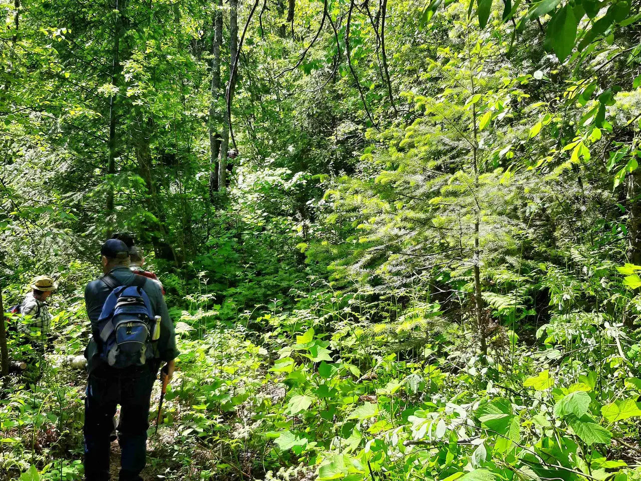
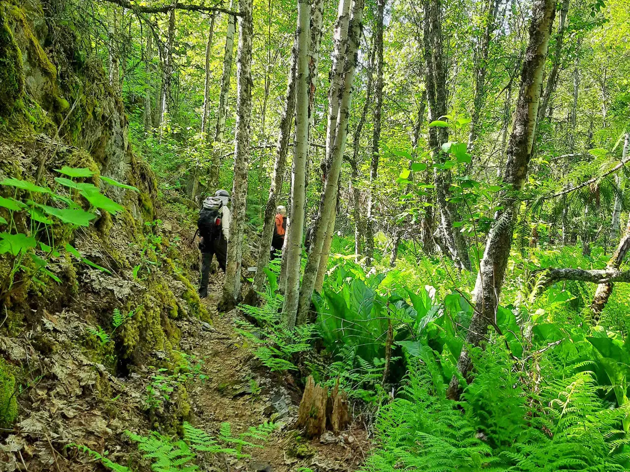
Fern Forest
This is the trail worth taking. A short, moderate climb lands you in another world, a hidden gem. Jurassic style.
 Moderate
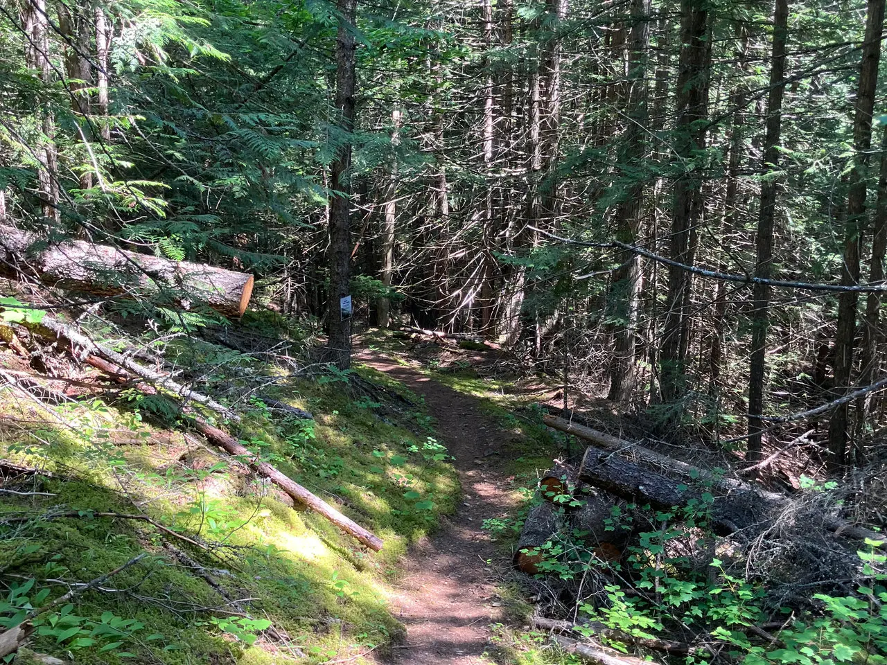
Williams Creek Falls
Visitors today are welcomed into a trail that blends breathtaking scenery, living history, and community-led conservation, making every step a connection to Creston's past.
 Hard
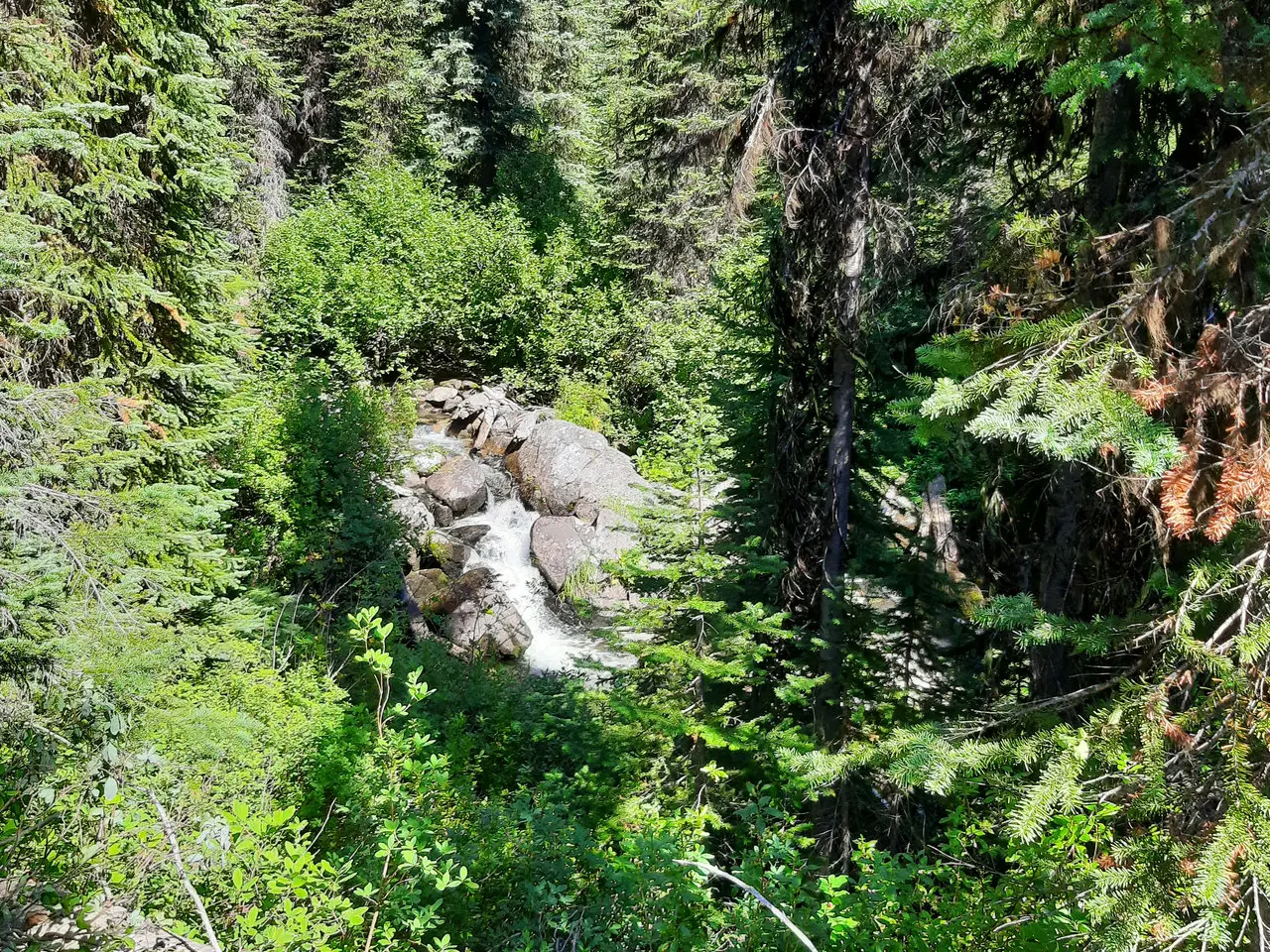
HardSanca Creek
Sub-alpine lakes, Kianuko Provincial Park, Haystack Mountain summit scramble, new bridge over Sanca Creek (2025), boardwalks, picnic site with mountain views. Fall is fabulous with the larch trees in full color.
 Easy
EasyKa Papa Cedars
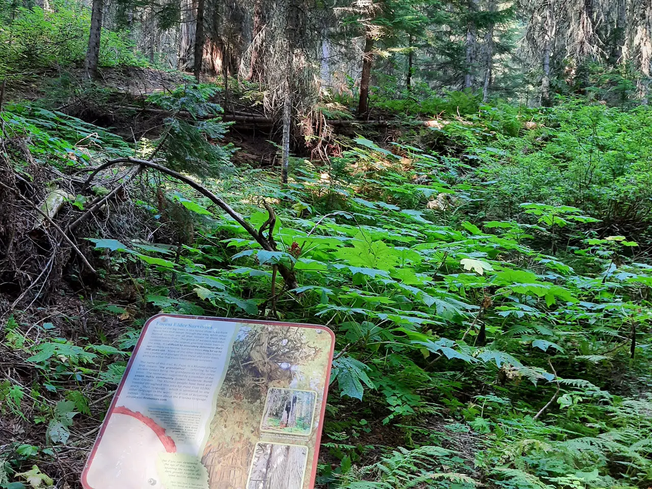
Ka Papa Cedar Trail is named in honor of the towering ancient cedar trees that line its path. Ka Papa Cedar Trail takes its name from the Ktunaxa word for grandfather: ka papa.
Other Public Trails
Other great trails around the Creston Valley that we don't maintain. Each one opens on AllTrails, where you'll find the map, current conditions and trip reports.